


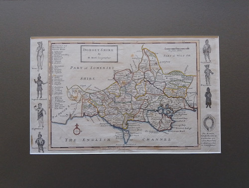
Dorsetshire - antique map, copper engraved, by Herman Moll (1654-1732) cartographer/geographer
With Divisions and Hundreds in Dorsetshire + Roman gods and goddesses
Published 1724 (over 300 years old) - from "A New Description of England &Wales", 1st Edition
with good (outline) hand colouring
English miles scale. + rose compass
Size of map: 12.5 x 7.5 ins. Size of product: 17 x 13 ins.
Smartly presented in dark brown hard card mount, ready for framing
NB small brown stain hardly visible (outside map) bottom left hand corner