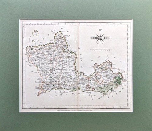
Antique Map of Berkshire, published in 1787 by John Cary (1755-1835 - cartographer, engraver, map seller), for 'Cary's New & Correct English Atlas'.
Copper engraving. Original hand colouring of county boundaries, roads and woodlands.
Visible vertical centre fold, as published.
Presented in smart green heavy card mount with strong backing.
Size of map: 27 cms x 22 cms. Size of product: 37 cms. x 32 cms.


