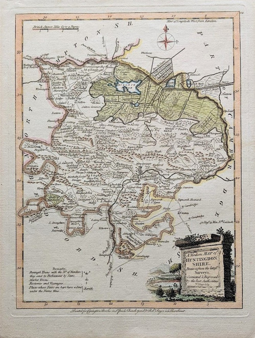
Huntingdonshire by John Ellis (fl 1750 d 1796)
Genuine antique map, copper plate engraved, published 1766. Later fine hand colouring.
Most remembered for Ellis’ ‘English Atlas’ first published in 1766 which contained 50 county maps engraved by W Palmer and were based on Thomas Kitchin’s earlier maps of 1764. The first edition of the Atlas was published by Carrington Bowles and Robert Sayer and various subsequent editions were published until 1777, the later editions being published by Robert Sayer and John Bennett.
This map, from the first edition, measures 20 cms by 26 cms and is offered ready for mounting and framing.


